
Thanks for taking the time to read part three, a little bit of “repetition” from Part 2 but its always good to revise! Part 3 talks through the use of Satellites as a means of communicating data from the animal to the satellite network and back to Earth.
GNSS (GPS) Satellite
Automated tracking without on-site terrestrial infrastructure
Technology summary
GNSS Satellite collars, also known as GPS Satellite collars, offer fully remote automated data collection and delivery. Location data is autonomously collected by the tracking device and delivered to the user via a satellite network and the Internet. The technologies involved have been around for a very long time but the physical size of the tracking devices have only been small enough to track medium sized animals since around 2011. The greatest challenges with this technology option are the need of good sky view for data communication, the cost of satellite data services and the amount of power required to communicate to a satellite. It can be a cost-effective option for the collection of location data over time as it requires no manual effort from the user. VHF transmitters are often included with GNSS Satellite devices as an option to track the animal when visual monitoring or physical intervention is needed.
How do GNSS Satellite tracking devices work?
The Global Positioning System (GPS) was the first commercially available Global Navigation Satellite System (GNSS) available – and is still the most widely used. There are more systems in operation such as Galileo, BeiDou and GLONASS. Modern GNSS receiver modules are capable of using multiple of these systems to improve performance in acquiring locations.
GNSS Satellite tracking devices combine a GNSS receiver with satellite module and some memory for data storage. The GNSS receiver module acquires location coordinates and time from GNSS systems such as GPS. Once a location is acquired the tracking device stores it in memory with the time and date. Collected data is sent to a computing platform on the Internet via a satellite network. The platform could make the data available to the user via email, an Application Programming Interface (API) or via a web portal.
Typically GNSS Satellite tracking devices are configured to acquire locations on a set schedule and to attempt to upload data on a second schedule. If the orientation of the satellite antenna or terrain does not permit uploading, these devices often have the ability to store the data until there is an opportunity to upload the data in a subsequent scheduled upload.
Satellites orbit the earth at a distance (from earth) and a velocity such that the outward centrifugal acceleration experienced by the satellite due to its circular motion exactly cancels out the force of gravity enacted on it by earth.
There are various satellite communication services available for animal tracking. Generally they can be divided into two system types:
Geostationary satellite systems
Geostationary satellites orbit the earth at a distance of about 35 786 km from earth. Their orbital period – the time it takes them to complete one full orbit of the earth – is exactly one day. They are made to orbit in the same direction as the earth turns and it means that to an observer from earth the satellite appears to be stationary. The advantage of such a system is that a communications antenna can be fixed in a specific direction to establish a good link. A common example of such a system is Satellite TV where satellite antenna ‘dishes’ are aimed at the satellite which appears to be at a stationary location in the sky. Wildlife tracking solutions can obviously not accommodate a satellite dish, but due to the low data rate needed to send location data an antenna with a wide radiation pattern can be used. This relieves the need for ‘pointing’ an antenna – making animal tracking using a geostationary satellite system possible. There are however a further constraints to using Geostationary satellites for animal tracking:
- Due to the vast distance of a geostationary satellite from earth the satellite transceiver module needs very high transmit power – which is not ideal for battery life.
- The required aperture for a patch antenna is quite large making the transceivers larger than would otherwise be the case.
- Line-of-sight from the transceiver to the satellite is required for successful communications. This means that if the animal happens to be behind something that obstructs the path from the satellite to the tracking device it is unlikely to have success in transmitting the data.
Data that is uploaded to a geostationary satellite transponder is immediately downlinked to a ground station from where it is delivered to the intended destination. The time between data upload to a satellite and delivery via a ground station is generally less than a few seconds. The size of the required antenna, and amount of battery required to operate a tracking system that uses a geostationary satellite limits its application to larger animals. Geostationary satellite systems are therefore only used for the tracking of elephants as they are able to carry the bulk needed.
Low Earth Orbit satellite systems
Low Earth Orbit (LEO) satellite systems consist of a ‘fleet’ of satellites that orbit the earth at much closer distance (200 to 2000 km). This means that the location of satellites in relation to an observer in earth is continuously changing as the satellites orbit in and out of view. Fortunately due to their comparatively shorter distance from earth it is not required to have a high-gain directional antenna in order to transfer data to a satellite that is in view. Less transmit power is also required to upload data to a LEO satellite when compared to a geostationary satellite. The way a LEO satellites transfer data to earth is by downlinking any data received during its orbit to a ground station as it passes over it. For this reason there can be a delay (typically a few minutes) from the time data is uplinked to a satellite until the satellite is in range of a ground station. Depending on the satellite system, some LEO satellites relay or route uploaded information between each other until the data gets to a satellite that is in range of an earth station for downlink and delivery to its destination. These systems offer very low latency of a few seconds or less between data uplink and delivery to the final destination. Constraints related to using LEO satellites for animal tracking:
- While the power required to transmit to a LEO satellite is much less than that required to transmit to a geostationary satellite due to the relatively closer proximity of the satellite, it is still quite a distance (781 km for Iridium) and requires more power than some terrestrial radio solutions such as cellular or other radio based solutions.
- The antenna aperture for a module that communicates with a LEO satellite can be much smaller than is required for a geostationary satellite for the same frequency if a patch antenna is used. This allows for smaller antenna configurations.
- Line-of-sight to a satellite at the time of upload is crucial for success. Antenna orientation on the animal is therefore crucial to maximise the chance of having line-of-sight to a satellite at the time of an attempted upload. Antennas that require good sky view are generally still a limiting factor in the design of an effective device for use on smaller animals.
How do you track an animal with a GNSS Satellite device?
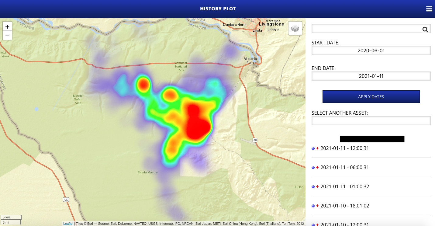
Data points from GNSS Satellite tracking devices are automatically uploaded from the device via the satellite networks and back down to a service provider’s platform on the Internet. Generally the user of the system does not need to perform any field work to get access to the data. The data is either delivered directly via email to the user or it may be accessed via an application that provides options to visualise the data on maps or download the data for analysis or use in third party applications.
Because geographic coordinates are acquired and uploaded on a schedule, the user will only get the latest location at the time of a successful upload. The acquired coordinates can be viewed on a map or put into a handheld GPS receiver to guide the user to the point. If a VHF transmitter is included in the tracking device, the last received coordinates is a good place to start searching for VHF signal when physical observation is required.
GNSS considerations
The maximum accuracy of a civilian GNSS receiver is about 2 m. In practice however the accuracy of acquired locations are typically 5 m to 10 m in good conditions. Each acquired location has a varying degree of accuracy depending on where the satellites used for the acquisition are located. The highest accuracy can be achieved if the GNSS receiver’s antenna has an unobstructed vantage point to the full sky. In these ideal conditions multiple satellites from different segments of the sky are used in calculating the location – providing quick and accurate results. If the GNSS antenna is partially obstructed by terrain or vegetation, or if it is oriented away from the open sky, the GNSS receiver will take longer to acquire a location and the accuracy of that location will be reduced because the satellites used may be within the same area of sky, which reduces the ability to get an accurate ‘fix’. Good GNSS devices measure the accuracy of each location and provide a horizontal dilution of precision (HDOP) which gives an indication of the possible error on the acquired location. Because of the high cost of satellite data transmission, not all GNSS Satellite tracking devices send HDOP data with each point, but rather use the HDOP value as part of a criteria to determine whether a location is accurate enough to store for upload.
GNSS Satellite device power consumption
GNSS Satellite devices can be relatively power efficient depending on the brand and how they are configured. There is however a limitation to the type of batteries that are appropriate for use in these devices due to the high burst current required during transmissions to a satellite. There are two primary elements that contribute to to battery draw namely the GNSS receiver and the Satellite module.
GNSS receiver power consumption
The amount of battery power consumed by a GNSS receiver whilst acquiring satellite data from the GNSS system, and the determination of location depends on the brand and components used and whether an active or passive antenna is connected. Active antennas compensate for signal loss in the feeding cable between the GNSS receiver and the antenna element. Active antennas are generally not required where short antenna cables are used – but this is dependent on the design of the tracking device or collar.
Most GNSS receivers store satellite ephemeris data from the GNSS satellites so that when they start up again within a certain period of time (two hours or less), some of the data is still valid and the time to get a location – known as Time to Fix (TTF) – is shorter than it would be when starting with no data – known as Time to First Fix (TTFF). Every two hours or so the receiver needs to replenish its ephemeris data to reduce any future TTF. When a GNSS device is started up in good sky view within a minute of its last ‘fix’, it could get a new ‘fix’ in a TTF of 1 second. This is called a ‘hot start’. When starting up 5 minutes to 2 hours after refreshing its ephemeris data, a GNSS receiver can ‘fix’ in a TTF of 5 to 15 seconds – known as a ‘warm start’. When starting up with no ephemeris data or with data that is more than 2 hours old most GNSS receivers can get a new fix in a TTFF of less than 30 seconds in very good sky view conditions – known as a ‘cold start’. These TTF and TTFF times (typically advertised on the GNSS receiver data sheet) are best-case times. In reality it is unlikely for the GNSS receiver to start up in ideal sky view conditions when fitted to an animal. Any partial obstruction of the sky or adverse orientation of the antenna has an adverse effect on the TTFF and TTF. GNSS cellular tracking devices are configured to allow a finite amount of time for the GNSS receiver to successfully acquire a location. Depending on the device the time allowed to fix could be from 1 minute up to 5 minutes, after which it ‘times out’ and registers no position for that time. GNSS receivers that are fitted to animals that frequent dense vegetation, canyons or ravines can easily consume more than 4 times the power when compared those fitted to animals that roam open grass plains for example. Cloud cover and precipitation also attenuates signals from GNSS satellites – increasing TTF and therefore also the power consumption.
Satellite module power consumption
The other major contributor to power consumption is the Satellite module. Some Satellite tracking devices allow for a schedule to be configured so that multiple data points can be uploaded in one communication session. Saving multiple data points and sending them together saves some power as it takes time for the module to register to a network every time it sends data and therefore sending multiple data points in a session is more efficient. There is often a limitation to the amount of data that can be packed into a single satellite transmission so the solution has to strike a balance between multiple data points and the maximum amount of data points allowed by the satellite service provider. The trade-off for saving battery power through scheduled uploads is that the user will get less frequent updates of the latest location of the animal than if each location was sent at the time of its acquisition. Satellite service coverage maps show where the services are available. Some satellite service providers such as Iridium offer global coverage. All satellite systems rely on line-of-sight between the satellite module antenna and one of the orbiting satellites. Poor sky view from the antenna is bad for battery power consumption in three ways:
- higher transmit power is used because satellite modules adjust their transmit gain based on the strength of signal from the network and retry transmission,
- upload efficiency is reduced because failed data uploads need to be sent multiple times before they are successfully delivered,
- the time taken to register to a network and upload data is longer due to poor link quality and
- when the antenna only has visibility to a portion of the sky there is a low probability of a LEO satellite being in the portion of the sky that the antenna has direct line-of-site to.
Suitability of GNSS Satellite devices for different applications
GNSS Satellite tracking devices are larger than other tracking technologies and currently are only suitable for tracking medium-sized to very large animals. For the purpose of comparison with the other technologies discussed in this guide we will consider the same applications again.
Physically finding an animal
When it is required to visually monitor an animal or a group of animals, the efficacy of GNSS Satellite devices depends on a few factors. If the terrain frequented by the animal fitted with the tracked device has sparse vegetation and the animal does not frequent areas with poor sky view such as ravines, it is feasible for field personnel to wait for the next upload and go searching in the area as soon as the location is uploaded. It can be frustrating if the scheduled upload was unsuccessful, but that is the nature of satellite communication. It is also difficult to get the location if the field personnel can not access the latest data due to poor cellular reception on their phone or laptop. If the tracking device is configured to upload data infrequently to save on battery life, it can be inconvenient to have to wait for a very long time for the next upload from the tracking device. For these reasons a VHF transmitter is often included in a GNSS Satellite collar. The field personnel would use the last received location as a starting point to search for VHF signal from the transmitter as described in the chapter on VHF transmitters.
Collecting location data
Good GNSS Satellite tracking devices capture and store location data and automatically upload the data to a platform for the user to access. Some however do not offer this feature and unsuccessful uplinks are never recovered. When compared to VHF transmitters where data collection is manual:
- The act of physically tracking the animal regularly is not required and the use of the technology does not alter its behaviour due to the field personnel’s proximity to the animal.
- Each location point is automatically captured and it is therefore easy to get a rich data set.
- The collection of location information does not consume a lot of costly resources – e.g. no field personnel, vehicles or fuel needed.
- As apposed to VHF transmitters, getting animal locations at night time from a GNSS Satellite tracking device is no more challenging than getting them in the day. This allows for safer studies on nocturnal animals.
- The efficacy of GNSS Satellite collars are dependent on terrain and animal behaviour.
Collecting other data
If more information such as activity level or temperature is needed, some types of GNSS Satellite tracking device can include that in the data set with minimal impact on battery consumption. Since satellite data transmission is expensive there is likely to be an impact on running costs.
GNSS Satellite tracking collar costs
GNSS Satellite tracking collars are the most expensive collars in this guide, and generally have an associated service fee for platform access and data costs. The additional costs are however quickly recovered due to the automation and low cost of use.
Cost of Equipment – High
The cost of a GNSS Satellite collar is the highest of any other discussed in this guide. This is mostly due to the component costs of the satellite communication module and antenna when compared with other communication technologies. In addition satellite service subscriptions and data transfer costs are significantly higher than the equivalent service on a cellular network.
Cost of Deployment – High
Fitting and removing tracking collars to wildlife is very expensive. Depending on the animal being collared, various techniques are used to capture and often tranquillise the animal before fitting the collar. It is sometimes necessary to charter spotter airplanes, helicopters and specialised wildlife veterinarians to get the job done. The total cost in resources to locate, tranquillise and fit tracking devices to animals can sometimes exceed the costs of the tracking equipment.
Service Fees – High
There is typically a service fee associated with GNSS Satellite collars. The fees generally cover the cost of the provider’s platform and the satellite service subscription and network charges. Fees may be charged on a monthly basis, or bundled into the upfront cost of the collar.
Cost of Use – Very Low
During normal operation there is no intervention required for a GNSS Satellite tracking collar to acquire and upload data for access by the user. These devices can collect a lot of data and provide rich data sets.
Total Cost – Medium to High
When considering all costs, GNSS Satellite tracking collars are very cost effective at gathering data because this is done automatically without any manual field work required. When used in good Satellite coverage and with the correct configuration for their environment they offer very good cost per location for very little user effort.
GNSS Satellite Technology rating
Reliability – Very Good
GNSS Satellite collars can be very reliable. Whilst they are smaller in size these days, there is more electronics and batteries that need to be housed in a collar or harness than is the case for a VHF transmitter or a GNSS Cellular tracking device. The bulkier a collar, the more chance it has of suffering damage due to bumps, bites or wear whilst deployed. It also has the additional complication that the design has to be such that the satellite module antenna faces skyward as often as possible. More components also increase the chance of a critical component failure – although these are very rare and there is a greater chance of physical damage or shock on the housing to be a root cause of failure.
Ease of Use – Excellent
For data collection there is nothing for the user to do. The GNSS Satellite tracking collar and the provider’s platform perform all the heavy lifting and data is delivered to the user wherever they may be.
Data granularity – Very Good
Data granularity can be very high. The amount of data that can be collected depends on the duration of the deployment, the amount of batteries that are accommodated and the schedule of data collection and upload.
Battery Life – Good
Battery life of a GNSS Satellite tracking device depends on the configured logging and upload schedule, animal behaviour, terrain and Satellite coverage. On the whole, if configured correctly for the situation, these devices offer fair battery life for medium animals and good battery life for larger animals that can carry a bigger battery pack.
Things to consider when ordering a GNSS Satellite collar
Mountainous terrain or dense vegetation are challenging environments for GNSS Satellite collars. Although they are likely to deliver data, the regularity of uploads may suffer as a result of poor sky view. In some situations there are no other options available e.g. in very remote locations with no other communications infrastructure around or where it is costly to maintain local radio infrastructure.